Just in case you needed directions…

What do you get when you take Google Maps, integrate it with satellite data and then build a software platform (based on the Keyhole architecture) around it?
You get Google Earth of course and it’s this week’s/month’s/year’s killer app.
For deeper analysis and exclusive posts, subscribe to my Substack.

Just in case you needed directions. (Check filename for a hint)
Related Posts
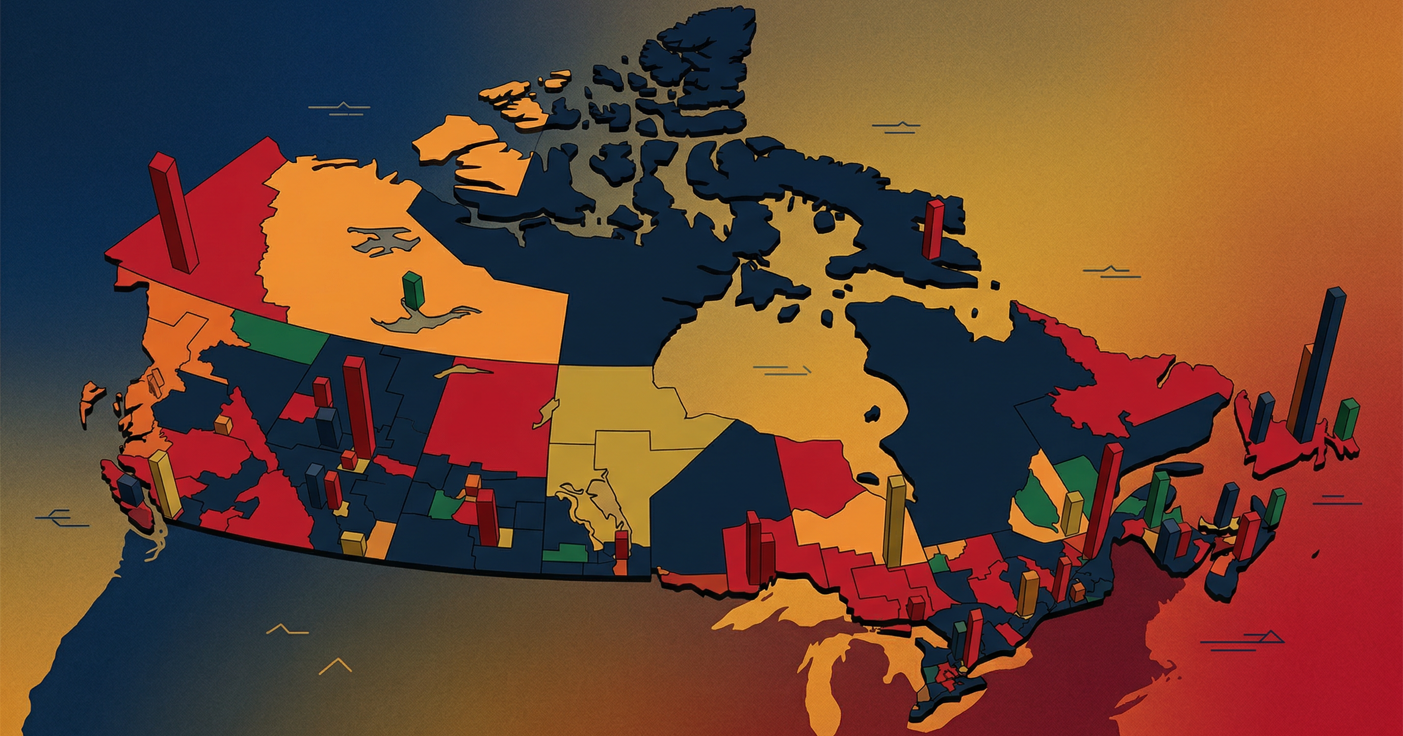
Google Earth demo – 2008 General Election poll maps and results
For the past week or so, when I’ve had a spare moment in the office, I’ve been working on a mapping project involving Elections Canada data and the Google…

US Election 2008: Live results
Newest 11:00pm: CNN declares Barack Obama President-elect 10:01pm: Democrats are +4 in the senate. 10:00pm: stephentaylor.ca decision desk calls the presidency…

Liberals vs. Liberals
Today, the Prime Minister stated that more Canadians are working today than before the global economic crisis hit. Dalton McGuinty’s Chief of Staff on Twitter:…