Canadian federal by-election maps are now on the Data Project
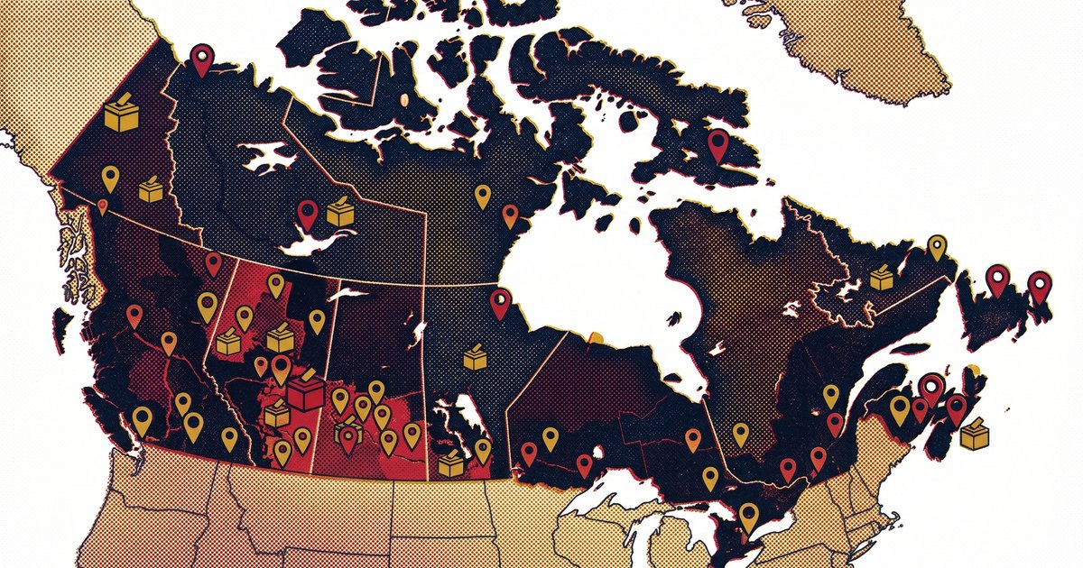
The Stephen Taylor Data Project now includes interactive maps for Canadian federal by-elections going back to 2005. Every by-election gets the same treatment as the general election maps: poll-by-poll results, candidate breakdowns, and zoomable riding maps.
Having built the infrastructure to pull data from Elections Canada and generate these maps over the years, by-elections were always the gap I hadn't filled. The problem is that by-elections have no economies of scale. Each one is its own data pull, its own set of polling divisions, its own map. In a general election, you build the pipeline once for 343 ridings. By-elections are one-by-one. The advent of multi-agentic AI changed the math on that. What would have been a monthlong side project of spare-time slogging became an afternoon on the weekend and now the last two decades of federal by-elections are mapped.
By-elections are usually a verdict on the sitting government. Turnout craters and the voters who do show up tend to have something to say. Toronto—St. Paul's is the obvious example — that by-election was the beginning of the end of Justin Trudeau's leadership of the Liberal Party. These are historically significant moments and the poll-by-poll maps let you see exactly where the support held and where it collapsed.
For deeper analysis and exclusive posts, subscribe to my Substack.
The most recent by-elections
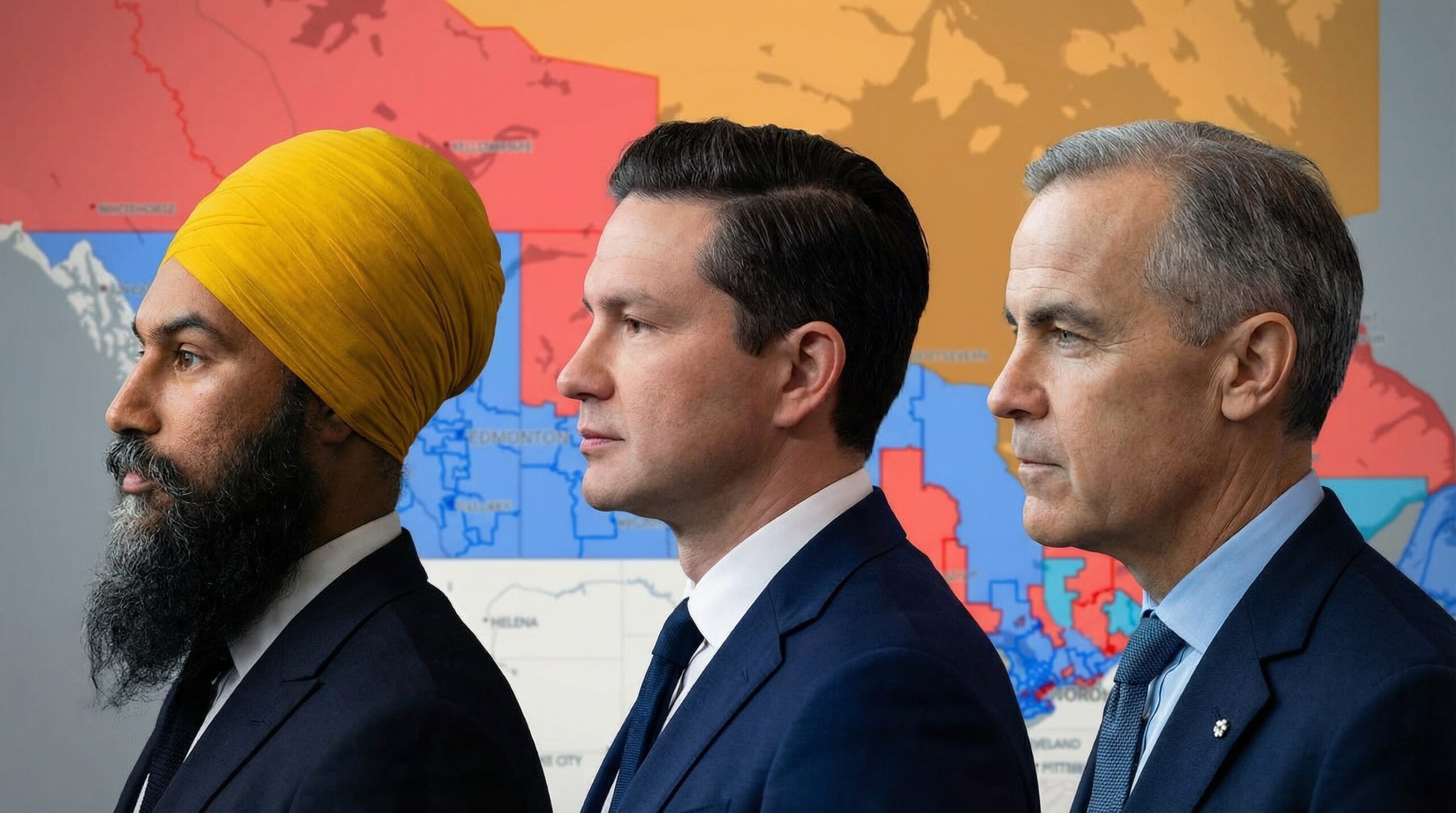
The newest addition is Battle River—Crowfoot, the August 2025 by-election in Alberta that brought Pierre Poilievre back to the House of Commons after he lost Carleton in the general election. Cloverdale—Langley City went to the polls in December 2024 in British Columbia. And in September 2024, LaSalle—Émard—Verdun in Montreal and Elmwood—Transcona in Winnipeg voted on the same day.
The by-election data covers every federal by-election from the 38th Parliament through the current 45th — over 20 years, grouped by Parliament. If you're a journalist, a researcher, or just someone who finds Canadian political geography as interesting as I do, have a look. And if you find any of this useful, I'd appreciate a link back to the Stephen Taylor Data Project.
Related Posts
Mapping the results of the 2025 Canadian Federal Election
Yes, it’s finally here. I’ve generated the maps for the 2025 federal election wherein Mark Carney’s Liberal Party elected enough MPs to form a minority…
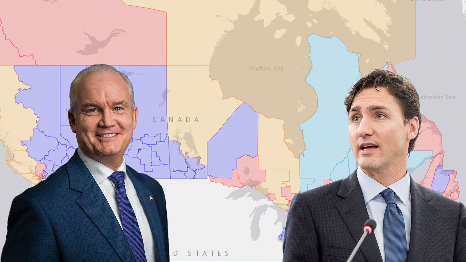
Mapped Results of the 2021 Canadian Federal Election
Elections Canada has just released the official results of 2021 Canadian federal election. The official voting results present the results of the election in…

Damien Kurek resigns so Pierre Poilievre can lead
Battle River–Crowfoot MP Damien Kurek officially resigned from Parliament today. The move will trigger a by-election for the riding where Pierre Poilievre will…