Canadian satellite images of Australian flooding
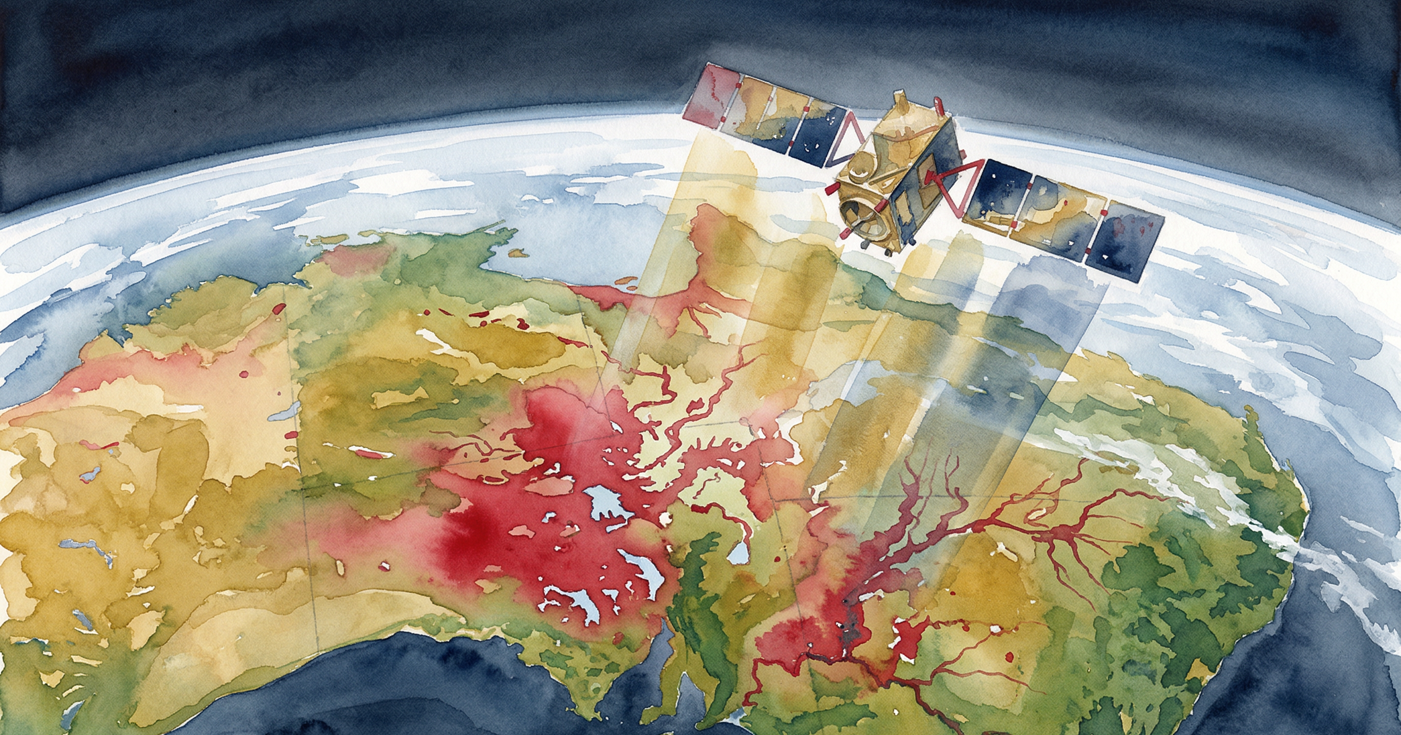
Forwarded by Leslie Swartman at MDA (courtesy of the CSA and RADARSAT-2)
The first image is a colour composite image derived from RADARSAT-2 collection on January 5, 2011, relative to an archived scene of April 9, 2010. The areas of flood extent is distinguished in red. The full colour picture is to provide a snapshot of the area the RADARSAT-2 imaged.

For deeper analysis and exclusive posts, subscribe to my Substack.

Related Posts

My analysis of Harper’s call to appoint an independent prosecutor
Conservative Party leader Stephen Harper announced in Quebec city today that if his party is elected to government it will create an independent office of…
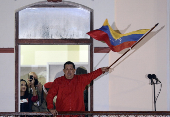
Venezuelan government angry about Stephen Harper’s remarks on the death of Hugo Chavez
The Venezuelans have responded angrily to Stephen Harper’s official statement on the passing of Venezuelan President Hugo Chavez, Here is their letter (rough…

Hugo Chavez has died: World Reaction
Stephen Harper, Prime Minister of Canada: “I would like to offer my condolences to the people of Venezuela on the passing of President Chávez. Canada looks…